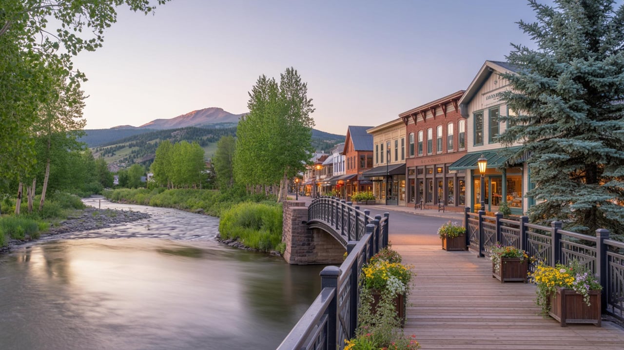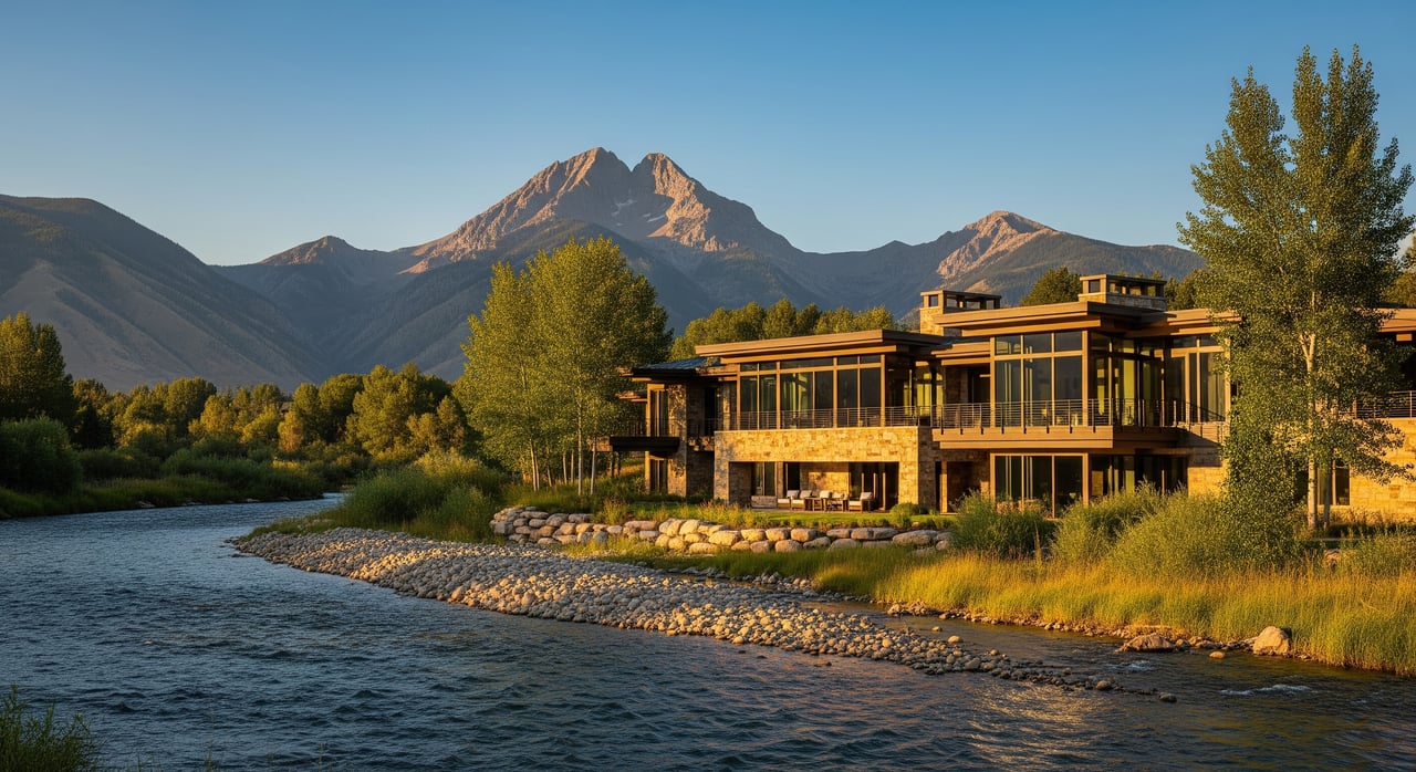
Owning on the river in Carbondale gives you the best of the Roaring Fork summer: cool evenings, wildlife, and water in motion. That same motion brings risk. Flood awareness protects people first, then insurability, rental income, and long-term value. With a clear plan, you can lower exposure and recover faster when water runs high.
Why flood readiness protects riverfront value
What this guide covers
In this guide you will learn how to:
- Build a site-specific risk profile using FEMA maps, elevations, and nearby streamgages
- Choose insurance that fits your property and rental operations
- Prioritize practical property upgrades that reduce damage
- Run safer short-term rentals with clear guest protocols
- Monitor, prepare, and recover quickly using local alerts and checklists
- Know when to bring in surveyors, engineers, and your advisory team
Understand your flood risk profile
Read maps and elevations effectively
Start with the official baseline. FEMA’s Flood Map Service Center hosts the regulatory flood maps and studies used for lending, insurance, and permits. Pull a current map for your parcel and generate a FIRMette to see if you are in a Special Flood Hazard Area like Zone AE, or in a moderate or low-risk zone. These maps are updated, so always check the most recent effective panel at the FEMA site. You can access the mapping portal at the Flood Map Service Center and download your panel and study details for your records via FEMA MSC.
Next, confirm the vertical picture. An Elevation Certificate documents your building’s Lowest Floor Elevation relative to the Base Flood Elevation. It is central to permitting and insurance rating. Ask the local floodplain administrator if one exists for your home, or hire a licensed surveyor to create one. FEMA’s consumer site explains when an EC is needed and how it affects coverage and pricing see Elevation Certificate basics.
Colorado also publishes planning resources that complement FEMA maps by adding local layers and streamflow context. These tools are helpful when you want to understand watershed behavior beyond the regulatory line work Colorado flood resources.
Assess onsite risk factors
Maps tell you where water is likely to go. Your site tells you how it will behave.
- Bank stability and channel migration: The Roaring Fork is mobile in places. Over time, gravel, cobbles, and boulders shift, which can redirect flow and erode banks. Local reporting has noted infrastructure and bank stability concerns in the corridor, which is why periodic site walks matter regional context.
- Building placement and grade: Homes set low relative to the river or with entries below grade are more exposed to surface water and backflow.
- Drainage paths and chokepoints: Culverts, driveway dips, and narrow side yards can funnel runoff to entries. In Carbondale, even non-storm causes like beaver activity have led to localized flooding when culverts are blocked local example.
- Utilities and mechanicals: Furnaces, water heaters, panels, meters, and fuel tanks installed low are vulnerable to water and debris.
Document baseline conditions
Create a simple property flood file:
- Current FEMA FIRMette and Flood Insurance Study page
- Elevation Certificate and any prior surveys
- Site photos of bank, drainage, and lowest openings during low water
- Utility locations with heights marked from finished floor
- Contact list for your insurer, floodplain administrator, and emergency vendors
When damage happens, this file speeds claims, permitting, and contractor bids.
Secure the right flood insurance
Compare policy options and limits
Standard homeowners policies typically exclude flood. The National Flood Insurance Program provides federally backed policies, and many private carriers also offer flood coverage. Start with the basics and compare side by side:
- What is covered: building, contents, or both
- Coverage limits vs. replacement cost
- Deductibles and any exclusions
- Loss of use or business income options if you operate a rental
- Waiting periods: most NFIP policies have a 30-day wait, so do not delay purchase or renewal flood insurance overview
If your home is in a Special Flood Hazard Area and you carry a federally regulated mortgage, flood insurance is typically required. Even outside mapped high-risk zones, many claims still occur from runoff and blocked drainage. Consider carrying a policy anyway to protect your asset why to evaluate coverage.
Improve pricing with accurate data
FEMA’s Risk Rating 2.0 pricing model uses building-specific inputs, including your first-floor elevation. Supplying an accurate Elevation Certificate and proof of mitigation, such as elevated mechanicals, can help your agent price correctly and may reduce premiums. Keep your EC and mitigation documentation on file and share with your insurer during underwriting and renewal Elevation Certificate guidance.
Align coverage with occupancy and risk windows
In the Roaring Fork basin, spring snowmelt and intense summer storms drive higher risk. Coordinate policy effective dates, renewals, and any adjustments with your operating calendar. If you take summer bookings, ensure coverage is in place well before runoff peaks, and confirm that contents and business income coverage match the value at risk during that season.
Reduce risk with property and site upgrades
Elevate and protect critical systems
Move what you can, protect what you cannot. Priority actions include:
- Elevate furnaces, water heaters, electrical panels, and major appliances to at or above the required flood protection elevation, often the Base Flood Elevation plus freeboard where applicable. FEMA’s technical guidance outlines methods and materials for utility protection see FEMA P-348 overview.
- Install a sump pump with battery backup and add sewer backflow prevention valves to reduce basement flooding during high water and power interruptions property protection tips.
- Anchor fuel and propane tanks to prevent flotation and breakaway hazards.
Improve drainage and site resilience
Small projects often deliver outsized results:
- Regrade away from foundations and add splash blocks or extensions so downspouts discharge well beyond walls.
- Maintain and clear private culverts and drains, and coordinate with the town or county on public culverts and headgates. Local incidents show that blocked culverts, including from beaver activity, can cause unexpected flooding. Confirm what you are allowed to clear and when before taking action local example.
- Use flood-damage-resistant materials at grade like tile, sealed masonry, and concrete, and avoid placing finished living areas below the expected flood level materials guidance.
Design smarter lower levels
Treat lower levels as flexible space:
- Prefer breakaway or sacrificial finishes over built-ins that trap moisture.
- Keep valuables and irreplaceables upstairs.
- Use quick-release storage for gear so it can be moved before high water.
Obtain required permits before work
If you plan substantial improvements or any work in a mapped floodplain or floodway, talk to local officials first. Floodplain development permits may require specific lowest-floor elevations, anchoring, or engineered floodproofing. Projects in floodways or involving channel work often need engineer certifications and multiple approvals. Garfield County’s hazard mitigation planning and local permitting processes outline expectations, so align early to avoid delays or compliance issues county context. FEMA’s glossary explains limitations on residential dry floodproofing and acceptable methods for non-residential spaces floodproofing basics.
Run rentals with safety and compliance
Create a guest safety plan
Short-term rental guests are often unfamiliar with river behavior. Make safety simple:
- A one-page quick-start guide in the house manual with evacuation routes, a safe meetup point on higher ground, and local emergency numbers
- Clear instructions on what to do if water rises, who to call, and where sandbags or barriers are stored
- A map showing the property, nearest high ground, and the safest exit by car and on foot
Set communication and access protocols
Decide in advance who watches conditions and who contacts guests. Use a simple trigger approach:
- Monitoring thresholds like river stage readings at your nearest USGS gage, plus local alerts, that cue a check-in
- A script for pre-arrival messages during high-water season and a message template for advisories or cancellations
- On-site access plans if driveways or low crossings are affected, including alternative parking if needed
For real-time data, bookmark the USGS streamgage page for the Roaring Fork near you and check National Weather Service watches and warnings. The Roaring Fork watershed has a long USGS record and active gages that show seasonal peaks and rising water ahead of time USGS watershed context and example gage reference.
Update disclosures and house rules
Be transparent with guests. Add a weather and river conditions clause to booking terms that covers safety, potential disruptions, and refund or rebooking rules. Keep your house rules consistent with city or county emergency guidance and post them where guests will see them.
Prepare, monitor, and recover fast
Build a seasonal readiness checklist
Start each spring with a simple routine:
- Inspect banks, culverts, downspouts, and drains. Clear debris where allowed.
- Test sump pumps and backup power. Confirm backflow valves are working.
- Stage sandbags and plastic sheeting, and protect ground-level entries.
- Confirm your insurance limits, deductibles, and inventory values.
- Update your vendor list: mitigation contractor, plumber, electrician, and debris removal.
- Save digital copies of your FEMA FIRMette, Elevation Certificate, permits, and photos in the cloud owner preparedness tips.
Monitor conditions and alerts
Use multiple official sources so you receive early cues and confirmations:
- USGS streamgages for real-time stage and discharge
- National Weather Service alerts for flash floods and river forecasts
- Local mass notifications through Garfield County’s GarCo911 system for warnings, sandbag points, and road impacts GarCo911 enrollment and county emergency management
During active events, combine gage trends with NWS watches or warnings for situational awareness and decision making USGS gage reference.
Document and expedite recovery
If damage occurs:
- Photograph water lines, debris marks, and every affected room and system before cleanup.
- Keep receipts and a log of hours for emergency work and debris removal.
- Contact your insurer promptly with your policy, EC, photos, and contractor estimates.
- Coordinate with Carbondale Fire & Rescue for safety guidance and any local advisories during cleanup local safety guidance.
Turn awareness into an action plan
Here is a simple sequence to protect your people, property, and revenue:
- Assess: Pull your FEMA map, confirm your Elevation Certificate, and walk the site.
- Insure: Compare NFIP and private options, verify limits, and start early to clear waiting periods insurance overview.
- Mitigate: Elevate utilities, improve drainage, and use durable materials at grade. Secure permits before work FEMA utility protection.
- Operationalize: Build guest safety plans and communication protocols. Set monitoring thresholds using USGS gages and local alerts USGS reference and GarCo911.
- Review annually: After runoff season, update your file, revise your checklist, and adjust coverage.
If you want a property-specific plan that aligns with your rental calendar and revenue goals, schedule a strategy session. I can help you coordinate surveyors, insurers, and contractors, and put guest-ready protocols in place so your home performs in peak seasons with less risk. Schedule your next step with Lindsey Lane Bush.
FAQs
How do I find out if my Carbondale home is in a flood zone?
- Download a current FIRMette for your parcel from FEMA’s Flood Map Service Center and confirm your panel’s effective date. Then verify on site with elevations or an Elevation Certificate if needed FEMA MSC.
What is an Elevation Certificate and why does it matter?
- It records your building’s lowest floor elevation relative to the Base Flood Elevation. Insurers use it to rate policies, and local officials use it for permits. Accurate ECs can improve pricing and compliance EC basics.
Do I need flood insurance if I am outside Zone AE?
- Often yes. Many claims happen outside mapped high-risk areas due to runoff or blockages. Compare NFIP and private options and decide based on your risk tolerance and asset value insurance overview.
How can I monitor rising water in real time?
- Bookmark the closest USGS streamgage for the Roaring Fork and watch stage and discharge trends. Pair that with National Weather Service watches and Garfield County alerts for on-the-ground decisions USGS reference and GarCo911.
What are common upgrades that actually reduce damage?
- Elevate mechanicals, add backflow valves, maintain culverts and drains, use flood-damage-resistant materials at grade, and anchor fuel tanks. FEMA offers practical homeowner guidance on these steps property protection and materials guidance.
Who do I contact locally during a flood or debris flow threat?
- Sign up for GarCo911 alerts and follow Garfield County Emergency Management. For safety instructions, Carbondale Fire & Rescue publishes local guidance on mud, debris flow, and flooding GarCo911, County EM, and Carbondale Fire.
Can I challenge my flood zone if I think the map is wrong for my building?
- Yes. FEMA has processes like a Letter of Map Amendment or Letter of Map Revision. Work with a surveyor and your local floodplain administrator to evaluate and submit. Start at FEMA’s MSC to learn the requirements FEMA MSC.